NASA's Artemis III Has a Landing Zone. This Is What the South Pole Looks Like Up Close.
The Apollo missions landed in the equatorial zone — flat, sunlit, predictable. Artemis III is targeting the lunar south pole, which is none of those things. NASA released its final list of 13 candidate landing regions in August 2023, each within 6 degrees of the pole, and the Lunar Reconnaissance Orbiter's detailed topographic maps show why this is an engineering challenge without precedent in human spaceflight. The terrain is ancient, heavily cratered, and partly in permanent shadow — which is exactly why it matters.
Why the South Pole
The lunar south pole contains water ice. This is no longer a hypothesis. NASA's LCROSS mission confirmed water in the Cabeus crater in 2009, and the Chandrayaan-1 radar instrument detected ice in permanently shadowed regions across the pole in 2018. The 2020 SOFIA airborne telescope observation detected water molecules on sunlit lunar surface at 6 parts per million — far below what exists in the PSRs (permanently shadowed regions), which models estimate at 3–8% water ice by mass in some locations.
Water ice at the south pole has two direct mission uses. First, it is the raw material for in-situ propellant manufacturing: electrolyze water into hydrogen and oxygen, and you have rocket fuel producible on the Moon rather than shipped from Earth at $1 million per kilogram. Second, it is the primary resource for any sustainable lunar base. The Artemis program's long-term architecture assumes south pole water as its logistics foundation.
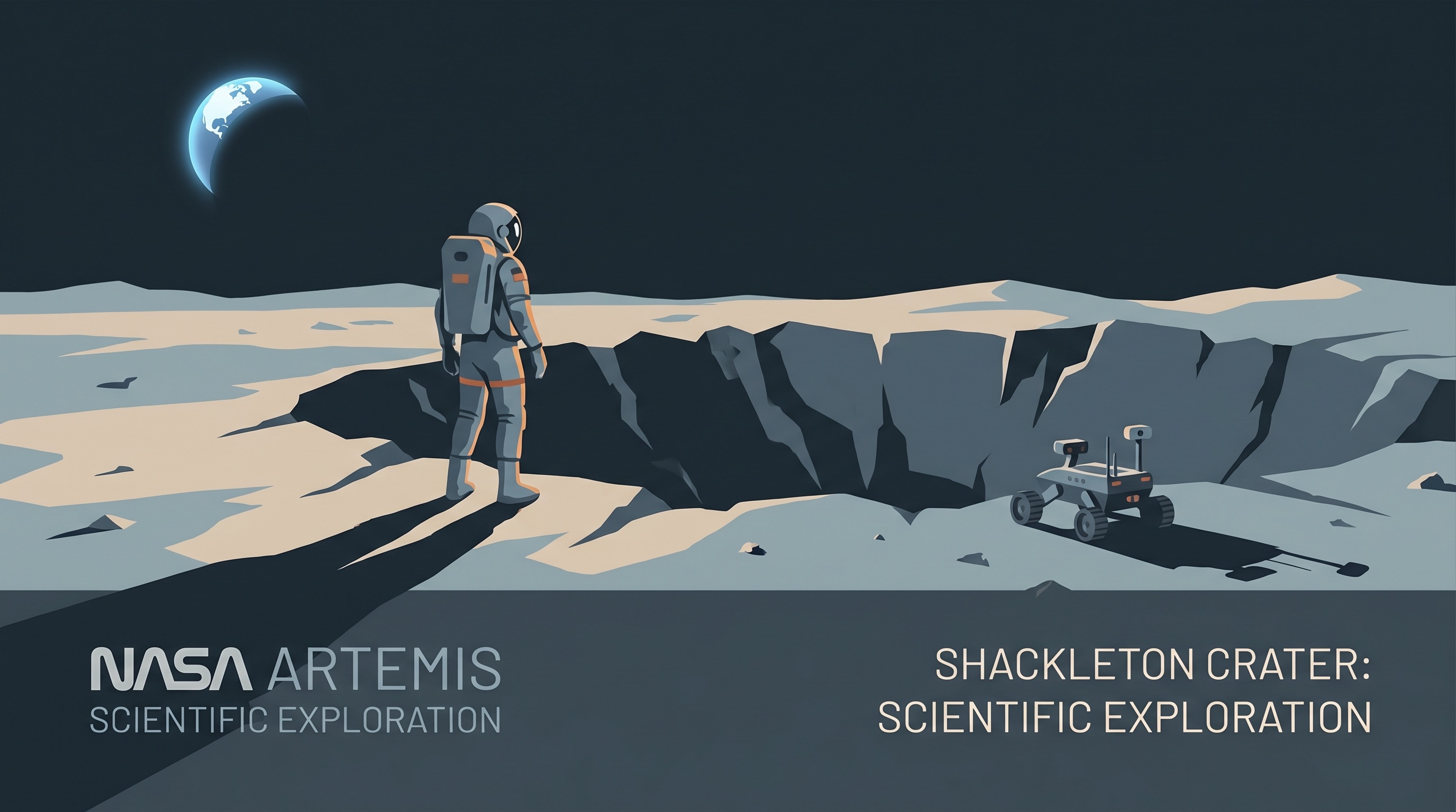
The 13 Landing Regions — What the Data Shows
NASA's 13 candidate regions were selected by crossing three datasets: slope maps from the LRO's LOLA instrument (slopes below 15 degrees required for safe landing), illumination maps (regions with at least 6 days of continuous sunlight for power generation), and terrain clearance maps (minimum 100m obstacle-free zones for the Space Launch System's descent trajectory). Each region is roughly 15km x 15km.
The highest-scoring regions cluster near the Shackleton crater rim, which sits at 89.9 degrees south — 10 kilometers from the actual pole. Shackleton's rim receives near-continuous solar illumination (roughly 89% of the year), making it one of the best natural power generation sites on the Moon. Its interior, however, is permanently shadowed and likely contains significant ice deposits.
The Haworth, Malapert, and Nobile regions also appear on NASA's list. Nobile crater is notable: the Lunar Polar Hydrogen Mapper (LunaH-Map) CubeSat detected elevated hydrogen concentrations here during its 2022 flyby — indirect evidence of subsurface ice within 1 meter of the surface.
The Engineering Challenge: Terrain That Doesn't Forgive Errors
The south pole's terrain creates navigation challenges that didn't exist at Apollo landing sites. At the equator, the Sun is overhead — shadows are short and lighting is consistent. Near the poles, sunlight arrives at 1.5–3 degree angles to the horizon, creating extremely long shadows and making crater walls appear as flat terrain in optical navigation systems. The Terrain Relative Navigation (TRN) system on SpaceX's Human Landing System (HLS) must function in this lighting environment without the GPS that Earth-based precision landing systems rely on.
SpaceX's Starship HLS uses a combination of star trackers, LIDAR altimetry, and optical feature matching against pre-loaded LRO images. The TRN approach worked on the Mars 2020 Perseverance landing, where similar low-angle Sun conditions prevail and GPS is unavailable. However, the lunar south pole's terrain is more chaotic: crater density at 89 degrees south is roughly 3x higher than the Apollo 11 landing site at 0.67 degrees north.
Communication and Power: Infrastructure Doesn't Exist Yet
The south pole has no communication relay coverage. Earth is always near the horizon from the pole — when it's visible at all — which means direct communication links require antennas pointed nearly horizontally, subject to terrain blocking. NASA's plan for Artemis III involves a temporary communication gap during some phases of surface operations, bridged by the Lunar Gateway when it's in the right orbital position.
The Lunar Gateway (planned 2027-2028 launch) will orbit in a Near-Rectilinear Halo Orbit that provides 6-hour communication windows to the south pole every 24 hours. For continuous coverage, NASA has contracted with commercial providers for lunar relay satellites. Intuitive Machines' Lunar Relay Satellite Network and Nokia's lunar 4G LTE project (also contracted under NASA's CSLI program) are both targeted at south pole coverage — neither is operational yet.
What Artemis III Astronauts Will Actually Do There
NASA's current Artemis III surface plan calls for two EVAs totaling approximately 20 hours of surface time, spread over a 6.5-day surface stay. The primary science targets are sample collection from multiple geological units near the landing zone and deployment of the PRIME-1 ice drill instrument — an advance version of the TRIDENT drill designed to extract ice from 1 meter below the surface.
Secondary objectives include deployment of three seismometers (building on the legacy of Apollo's ALSEP seismic network) and collection of samples from the permanent shadow boundary — the scientifically critical transition zone where solar radiation has never reached but which is accessible on foot from the sunlit landing zone.
The sample return is the highest scientific priority. Apollo samples from equatorial sites answered fundamental questions about the Moon's composition and the history of the solar system. Samples from the south pole — particularly from PSR boundaries — will answer whether the water ice is ancient cometary material, volcanic outgassing, or solar wind hydrogen implanted in the regolith. That question has direct implications for the origin of Earth's own water.
Timeline: Where Artemis III Actually Stands in 2026
Artemis I flew in November 2022 — an uncrewed Orion capsule around the Moon. Artemis II, the first crewed lunar flyby, has slipped multiple times and is now targeting no earlier than April 2026. The crew — Reid Wiseman, Victor Glover, Christina Koch, and CSA astronaut Jeremy Hansen — has been training since 2023. Artemis III, the actual landing, was previously planned for 2025, then 2026, and is now realistically a 2027 mission given Artemis II's delays and SpaceX Starship HLS's own development schedule.
SpaceX's Starship has completed integrated flight tests through 2025, with the HLS variant still in development. NASA's Space Launch System and Orion are both operational hardware. The critical path for Artemis III is SpaceX HLS reaching human-rating certification — a process that requires additional uncrewed test flights before astronauts board.
Actionable Context for Those Following the Program
- The landing zone shortlist is final: NASA's 13 candidate regions are the actual locations being considered, not a preliminary list. Final site selection will occur within 6 months of a confirmed Artemis III launch date.
- Starship HLS is the critical path item: follow SpaceX's uncrewed HLS test flight schedule, not the SLS/Orion schedule, to gauge real Artemis III timing.
- Commercial precursor missions matter: IM-2 (Intuitive Machines, 2024) and IM-3 target the south pole with ice-prospecting instruments. Their results will influence final Artemis III site selection and science targets.
- The 2027 window is realistic: if SpaceX HLS completes its uncrewed demonstration flight by mid-2026 and NASA certifies it for crewed use, a 2027 landing becomes achievable. A 2028 backup window exists if the 2027 launch window is missed.